
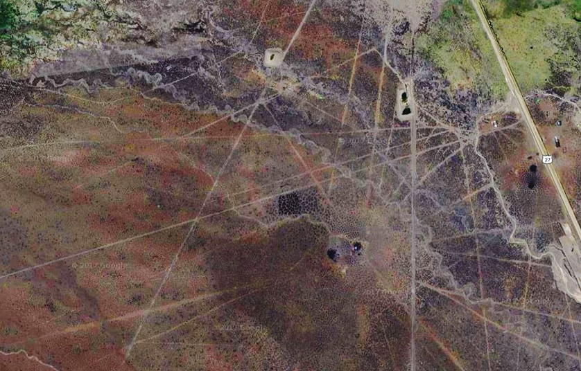
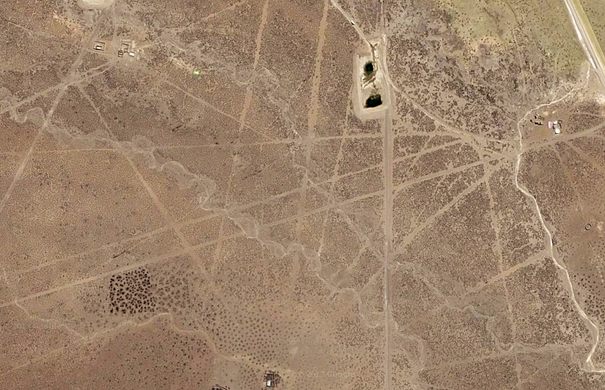
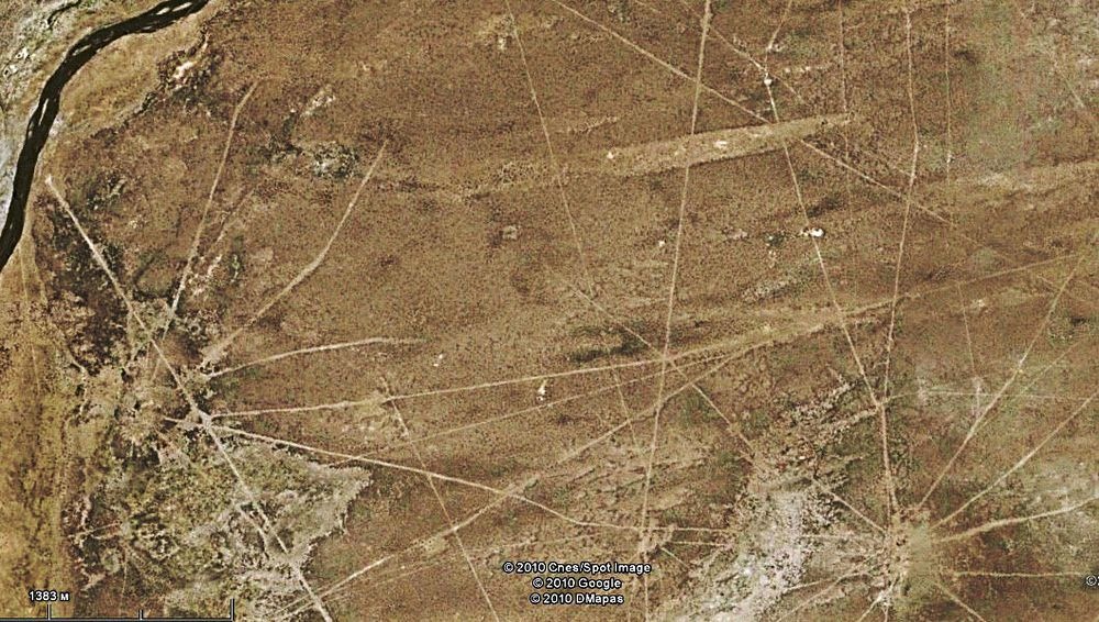
The Sajama Lines in western Bolivia is a network of thousands (perhaps tens of thousands) of perfectly straight tracks drawn on the ground continuously for more than 3000 years by the indigenous peoples of South America who live near the Sajama glacier.
Recent research has revealed that this ancient network of lines covers an area of 22,525 square kilometers, approximately 15 times larger than that covered by the Nazca lines in Peru.
Their length is roughly estimated at 16,000 km, about 3 times the width of the United States of America.
For these reasons, the Sajama lines are the largest archaeological site in the Andes.
The lines were created by digging and displacing vegetation, soil covering materials, and oxidized rocks, exposing the lighter surface below.
This is how they look from ground level.
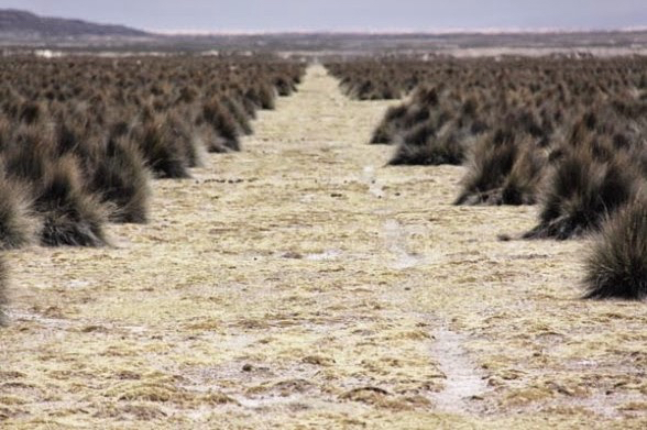
Like the best-known Nazca Lines, neither the meaning nor the method used to achieve such precision is clear for these lines.
These lines differ from those of Nazca because the latter also consists of some figures of animals and plants, while Sayama only consists of geometric patterns and lines.
Researchers at the University of Pennsylvania, when describing the lines, said:
“Although many of these sacred lines extend over 10 or 20km (and possibly more), they appear to have been drawn with incredible precision, despite the hostile topography and natural obstacles. The total number of lines is difficult to perceive from ground level, but from the air or from the top of a hill they are impressive.”
Just like in the Nazca case, the geometric patterns are carved across several natural obstacles such as hills and mountains without any alteration of their course, as if they were drawn from the sky.