There is more than one theory that has been proposed over the years by different scholars and researchers.
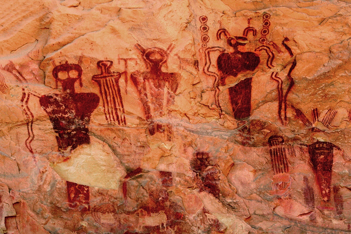
One of the most plausible and logical one comes directly from ancient sources. Some of the ancient historians, like Strabo, Manetho, Josephus, and Plato (even though he was a philospher and not an historian), wrote in their accounts that a civilization responsible for the construction of the megalithic sites and most of the mythologies and religions prospered on earth before a worldwide natural catastrophe occured (which we currently know, thanks to science, was triggered by the Younger Dryas events).
Two possibilities stem from this theory:
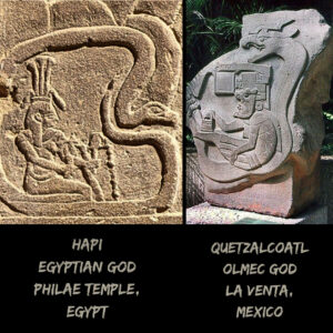
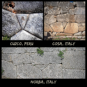
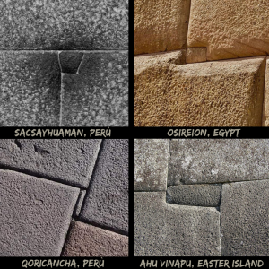
1) Plato wrote in his Critia that when the natural catastrophe occurred this civilization sailed from its original place, which he calls Atlantis, and ended up in different places on earth, bringing its construction techniques, mythologies, and traditions in those places, particularly to the East and to the West. This would explain why South America and Egypt share the most similarities in both megalithic buildings and beliefs.
2) This possibility does not come from actual historical accounts, but it has been speculated by several researchers, and it implies that this civilization was able to travel long distances by the sea, eventually bringing its knowledge and traditions in many places all over the earth. This could explain several ancient myths, like the South American ones, describing people with white skin and long white hair coming from the sea and teaching them about agriculture, farming, and religion, before disappearing by sailing out at sea again.